|
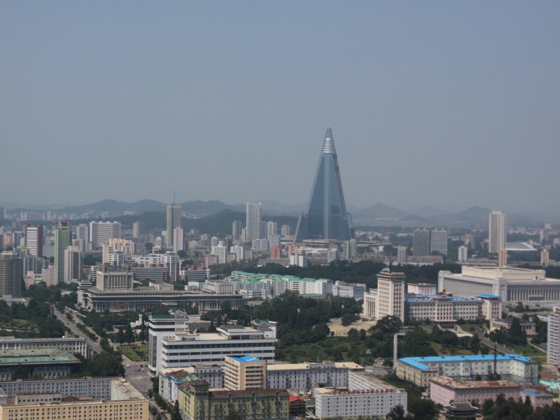
Pyongyang
The
Korean Peninsula, located in Northeast Asia, is bordered
on the north by China and Russia and juts toward Japan to
the southeast. The northernmost point is Yup'ojin in
Onsong-gun, Hamgyongbuk-do Province, and the southernmost
point is Marado island, Cheju-do Province. The
westernmost point of Maando island in Yongch'on-gun,
Pyonganbuk-do Province, and the easternmost is Tokdo
island in Ullung-gun, Kyongsangbukdo Province. The
Korean Peninsula is 222,154 square kilometers, almost the
same size as the UK or Romania. The administrative
area of the Republic of Korea is 99,392 square kilometers,
slightly larger than Hungary or Portugal and a little
smaller than Iceland.
The
northern part of the peninsula is divided into two
geographical regions: the P'yong-an-do province in the
northwest and the Hamgyong-do province in the northeast.
The former with more flatlands is also known as the Kwanso
region while the latter is often referred to as Kwanbuk.
P'yong-an-do province serves as the major agricultural
area of the North.
By
contrast, Hamgyong-do province, due to its mountainous
topography, boasts mining and forestry as its major
economic activities. P'yongyang, a leading urban
center in the P'yong-an-do province, is the capital of
North Korea and Namp'o serves as the gateway port to
P'yongyang. Hamhung and Ch'rongjin are the other
major centers of amgyong-do province.
The
third geographical region of the North, Hwanghae-do
province lies to the south of O'yong-an-do province.
Once a part of the Central region prior to the South-North
division, Hwanghae-do province shares a great many
cultural similarities with other west-central regions of
the peninsula. Kaesong is the major city of the
region.
Topography
Early European visitors to Korea
remarked that the country resembled "a sea in a
heavy gale" because of the many successive
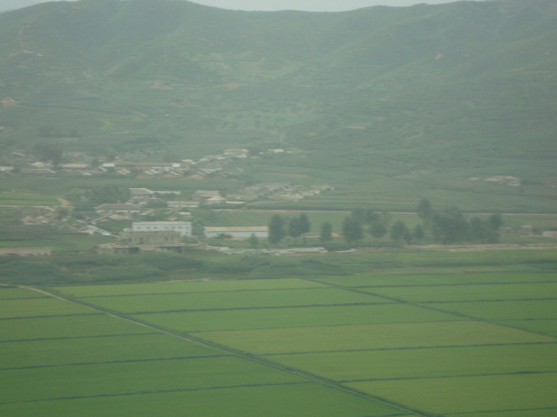
mountain ranges that crisscross the peninsula. Some 80% of
North Korea is composed of mountains and uplands,
separated by deep and narrow valleys, with all of the
peninsula's mountains with elevations of 2,000 metres
(6,600 ft) or more located in North Korea. The coastal
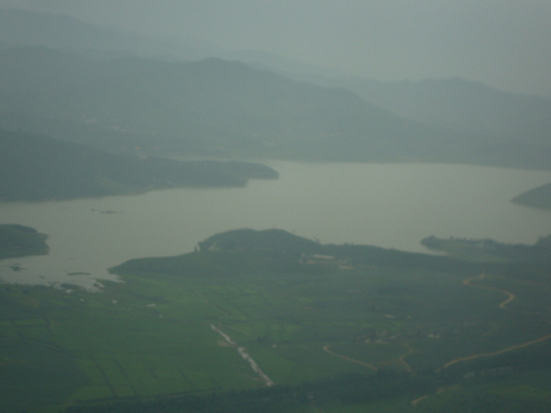
plains are wide in the west and discontinuous in the east.
A great majority of the population lives in the plains and
lowlands.
The highest point in North Korea is
Baekdu Mountain which is a volcanic mountain near the
Chinese border with basalt lava plateau with elevations
between 1,400 and 2,000 metres (4,600 and 6,600 ft) above
sea level. The
Hamgyong Range, located in the extreme northeastern part
of the peninsula, has many high peaks including Gwanmosan
at approximately 1,756 m (5,761 ft).
Other major ranges include the
Rangrim Mountains, which are located in the north-central
part of North Korea and run in a north-south direction,
making communication between the eastern and western parts
of the country rather difficult; and the Kangnam Range,
which runs along the North Korea–China border.
Geumgangsan, often written Mt Kumgang, or Diamond
Mountain, (approximately 1,638 metres or 5,374 ft) in the
Taebaek Range, which extends into South Korea, is famous
for its scenic beauty.
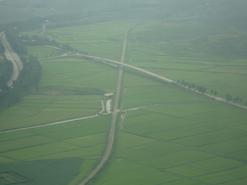
For the most part, the plains are
small. The most extensive are the Pyongyang and Chaeryong
plains, each covering about 500 square kilometres
(190 sq mi). Because the mountains on the east coast
drop abruptly to the sea, the plains are even smaller
there than on the west coast. Unlike neighboring Japan or
northern China, North Korea experiences few severe
earthquakes.
Climate
North Korea has a continental
climate with four distinct seasons. Long winters bring
bitter cold and clear weather interspersed with snow
storms as a result of northern and northwestern winds that
blow from Siberia. Average snowfall is 37 days during the
winter. The weather is likely to be particularly harsh in
the northern, mountainous regions.
Summer tends to be short, hot,
humid, and rainy because of the southern and southeastern
monsoon winds that bring moist air from the Pacific Ocean.
Typhoons affect the peninsula on an average of at least
once every summer. Spring and autumn are transitional
seasons marked by mild temperatures and variable winds and
bring the most pleasant weather. Natural hazards include
late spring droughts which often are followed by severe
flooding. There are occasional typhoons during the early
fall.
Administrative
divisions

Principal divisions
of North Korea

Major North Korean
cities.
| |
Namea |
Chosŏn'gŭl |
Hanja |
| Directly
governed cities (Chikhalsi)a |
| 1 |
Pyongyang
(National Capital) |
평양직할시 |
平壤直轄市 |
| 2 |
Rason |
라선직할시 |
羅先直轄市 |
| Special
Administrative Regions (T'ŭkpyŏl Haengjŏnggu)a |
| 3 |
Kaesong
Industrial Region |
개성공업지구 |
開城工業地區 |
| 4 |
Kumgangsan
Tourist Region |
금강산관광지구 |
金剛山觀光地區 |
| 5 |
Sinuiju Special
Administrative Region |
신의주특별행정구 |
新義州特別行政區 |
| Provinces
(do)a |
| 6 |
Chagang |
자강도 |
慈江道 |
| 7 |
North Pyongan |
평안북도 |
平安北道 |
| 8 |
South Pyongan |
평안남도 |
平安南道 |
| 9 |
South Hwanghae |
황해남도 |
黃海南道 |
| 10 |
North Hwanghae |
황해북도 |
黃海北道 |
| 11 |
Kangwon |
강원도 |
江原道 |
| 12 |
South Hamgyong |
함경남도 |
咸鏡南道 |
| 13 |
North Hamgyong |
함경북도 |
咸鏡北道 |
| 14 |
Ryanggang |
량강도 |
兩江道 |
| –
Sometimes rendered "Yanggang". |
|
|
CIA
FACTS
|
Location:
|
|
Eastern Asia, northern half of
the Korean Peninsula bordering the Korea Bay and
the Sea of Japan, between China and South Korea
|
|
|
Geographic coordinates:
|
|
40 00 N, 127 00 E
|
|
|
Map references:
|
|
Asia
|
|
|
Area:
|
|
total: 120,538
sq km
country
comparison to the world: 98
land: 120,408
sq km
water: 130
sq km
|
|
|
Area - comparative:
|
|
slightly smaller than
Mississippi
|
|
|
Land boundaries:
|
|
total: 1,673
km
border countries: China
1,416 km, South Korea 238 km, Russia 19 km
|
|
|
Coastline:
|
|
2,495 km
|
|
|
Maritime claims:
|
|
territorial sea: 12
nm
exclusive economic zone: 200
nm
note: military
boundary line 50 nm in the Sea of Japan and the
exclusive economic zone limit in the Yellow Sea
where all foreign vessels and aircraft without
permission are banned
|
|
|
Climate:
|
| Current
Weather
temperate with rainfall
concentrated in summer
|
|
|
Terrain:
|
|
mostly hills and mountains
separated by deep, narrow valleys; coastal plains
wide in west, discontinuous in east
|
|
|
Elevation extremes:
|
|
lowest point: Sea
of Japan 0 m
highest point: Paektu-san
2,744 m
|
|
|
Natural resources:
|
|
coal, lead, tungsten, zinc,
graphite, magnesite, iron ore, copper, gold,
pyrites, salt, fluorspar, hydropower
|
|
|
Land use:
|
|
arable land: 22.4%
permanent crops: 1.66%
other: 75.94%
(2005)
|
|
|
Irrigated land:
|
|
14,600 sq km (2003)
|
|
|
Total renewable water
resources:
|
|
77.1 cu km (1999)
|
|
|
Freshwater withdrawal
(domestic/industrial/agricultural):
|
|
total: 9.02
cu km/yr (20%/25%/55%)
per capita: 401
cu m/yr (2000)
|
|
|
Natural hazards:
|
|
late spring droughts often
followed by severe flooding; occasional typhoons
during the early fall
|
|
|
Environment - current
issues:
|
|
water pollution; inadequate
supplies of potable water; waterborne disease;
deforestation; soil erosion and degradation
|
|
|
Environment - international
agreements:
|
|
party to: Antarctic
Treaty, Biodiversity, Climate Change, Climate
Change-Kyoto Protocol, Desertification,
Environmental Modification, Hazardous Wastes,
Ozone Layer Protection, Ship Pollution
signed, but not ratified: Law
of the Sea
|
|
|
Geography - note:
|
|
strategic location bordering
China, South Korea, and Russia; mountainous
interior is isolated and sparsely populated
|
|