The Land
Singapore is an
equatorial country, consisting of one main
island and some 63 offshore islands. Her
uniform temperature and abundant rainfall give
rise to the rich flora and fauna that typify a
tropical island.
Singapore is located
between latitudes 1o09'N and 1o29'N
and longitudes 103o36'E and 104o25'E,
approximately 137 kilometers north of the
Equator.
The main island of
Singapore is about 42 km from east to west and
23 km from north to south. The total land
area (including that of the smaller islands) is
697.1 square km. The main island is 617.1
square km.
Among off shore
islands, the larger ones are Pulau Teking (2365.
hectares), Pulau Ubin (1023.9 hectares) and
Sentosa (460 hectares).
Climate
Singapore has an
equatorial climate, which is warm and humid all
year round. Rain is felt throughout the
year. Singapore experiences two distinct
monsoon seasons - the wetter Northeast Monsoon
season from December to March and the drier
Southwest Monsoon season from June to
September. During the inter-monsoon
months, winds are light and variable with
afternoon to early evening showers, often
accompanied by thunder.
Weather information
is available at www.nea.gov.sg.
Geology
Granite occurs in two
separate masses. The larger one is found
in the central and northern areas, he smaller
one in parts of the northeast. Granite or
igneous rocks underlie the Bukit Timah Nature
Reserve and the Central Catchment Area in the
center of the island.
The sedimentary rocks
of the Jurong Formations skirt the central
granite and form extensive areas in souther,
southwestern and western Singapore. These
variations of conglomerate, sandstone and shale
are also found on the islands to the south and
west. The
semi-hardened Old Alluvium in the east was
deposited by an ancient river system, probably
in the Pleistocene epoch, during a low stand of
the sea. It masks older rocks beneath. Topography 
Much
of the island lies within 15 meters of sea
level. The area of igneous rocks in the
center of the island forms rounded hills and
gentle spurs and valleys, over which rise the
peaks of Bukit Timah (Singapore's highest point
at 163 meters), Bukit Gombak (139 meters), Bukit
Panjang (132 meters) and Bukit Batok (106
meters). To the west and southwest of the
island, the sedimentary rocks give rise to a
series of narrow ridges, including that of Pasir
Laba, Pasir Panjang, and Mount Faber. The
coast if flat, but in a few places, cliffs come
down to the sea. Considerable stretches of
the coastline are not natural formations =
having been significantly modified by
reclamation work, the building of embankments
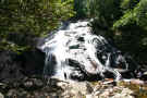
and swamp clearance. Singapore
is drained by a number of small streams.
The largest of these, Sungei Seletar, is about
15 kilometers long. The Singapore River is
3 km long, from Kim Seng Bridge to the river
mouth. The valleys through the built-up
areas are now drained by tree-lined concrete
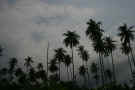
channels rather than by natural streams. Flora
and Fauna Singapore
was once covered with dense lowland tropical
rainforest, with mangrove forests lining the
muddy coasts and tidal creeks. Tigers,
wild boars and musangs were common. As
the settlement grew in the 1840's, forest were
cut down to cultivate crops such as nutmeg,
gamlier, clove, pepper and cocoa. In 1877,
the first rubber trees were successfully
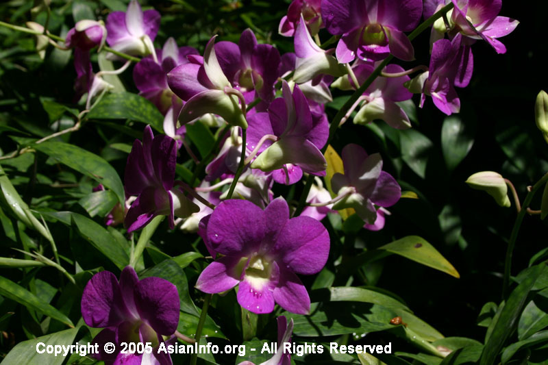
planted. Many endemic plant species,
including more than 50 species of
mangrove-inhabiting orchids, gradually
disappeared with deforestation. The effect
on wildlife, especially large mammals, was more
severe. As the city spread, species of
birds more common in urban areas replaced forest
and woodland species. Forest
reserves were set up at the turn of the
century. Today, the National Parks Board (NParks)
manages nearly 3,000 hectares of Natural
Reserves - the Bukit Timah Nature Reserve, the
Central Catchment Nature Reserve, the Sungei
Buloh Wetland Reserve and the Laborador Nature
Reserve. Flora 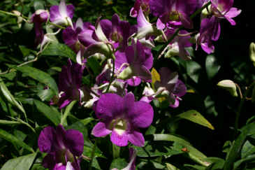
Primary
Vegetation
Much of the 164-hectare Bukit Timah Nature
Reserve and parts of the Central Catchment
Nature Reserve harbor primary vegetation.
These are also the only substantial areas of
primary rainforest left in Singapore. The
top tier of the primary rainforest canopy
comprises tropical hardwoods of the Dipterocarp
family, some of which grow to 40 meters. Of
the mangrove forest, about 500 hectares remain
along the northern coastline in Kranji, Sungei
Loyang and Sungei Tampines near Pasir Ris, in
patches in Woodlands and Seletar, and one some
of the offshore islands. Singapore beaches
are home to a distinctive flora of grasses,
sedges, creepers and trees. Red seaweeds,
green seaweeds and a wide variety of brown
seaweeds are also represented along the along
the coastal waters. Secondary
Vegetation
Most of Singapore's forested areas are covered
with secondary regrowth that regenerate from
areas that were cleared for cultivation during
the colonial period. Vegetation in public
parks and along roads includes exotic species
link Prangipani, Lantana and
Bougainvillea. In fact, many of the trees
planted by NParks for shade a beauty are
imported species. Common wayside trees are
the Angsana (Pterocarpus indicus), the
Rain Tree (Samanea saman), the Yellow
Flame (Peltophorum pterocarpum), and the
Wild Cinnamon (Cinnamomum iners). 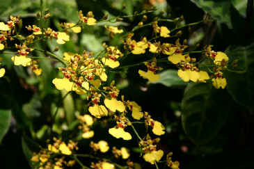
Fauna Fauna
records for Singapore include about 80 mammal
species, over 300 bird species, around 60
freshwater fish species and 110 reptilian and
amphibian species, though some are extinct. Most
of the native animals are now confined to the
Nature Reserves and the forested areas,
including the northern islands of Pulau Ubin and
Pulau Teking. Among the vertebrates of the
high canopy are the Flying Lemur (Cynocephalus
variegatus) and the Flying Lizard (Draco
sp). More commonly seen are the
squirrels (Callosciurus notatus and
Sundasciurus tenuis) and the long-tailed
Macaque (Macaca fascicularis). The
forest floor is the habitat of shrews, rats,
snakes, skinks and frogs. Bat species
include the fruit bats, the horseshoe bats, the
sheathtailed bats and the false vampires. Animal
life in streams, ponds and reservoirs is
dominated by tadpoles, fish (such as species of Rasbora
and Puntius), prawms, water bugs, and
dragonfly and damselfly nymphs. Of the
seven species of freshwater crabs found, three
are endemic. Along
the coast, a variety of mussels, barnacles,
snails, crabs, mud-lobsters, prawns and
mud-skippers survive well in the brackish water
of mangrove swamps. The other marine and
coastal habitats such as coral reefs, rocky
shores and sandy beaches also support their own
unique ecosystems. Over
180 species of birds and about 300 species of
flora have been recorded in Sungei Buloh Wetland
Reserve, an 87-hectare park where mangroves and
wetland wildlife thrive. The disused prawn
ponds are now important feeding and roosting
sites for migratory shorebirds that visit
Singapore from September till March. |