AsianInfo.org
supports
I.C.E.Y. - H.O.P.E. (non-profit
org) (International
Cooperation of Environmental Youth - Helping Our Polluted Earth)
Any advertisement you view helps save the environment!
Thanks!
occasional
typhoons (May to January) with extensive flooding,
especially in the Mekong River delta
Environment
- current issues:
logging and
slash-and-burn agricultural practices contribute
to deforestation and soil degradation; water
pollution and overfishing threaten marine life
populations; groundwater contamination limits
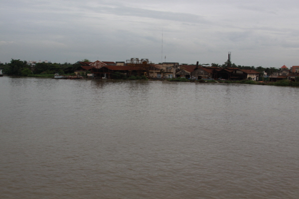
potable water supply; growing urban
industrialization and population migration are
rapidly degrading environment in Hanoi and Ho Chi
Minh City
Environment
- international agreements:
party to: Biodiversity,
Climate Change, Climate Change-Kyoto Protocol,
Desertification, Endangered Species, Environmental
Modification, Hazardous Wastes, Law of the Sea,
Ozone Layer Protection, Ship Pollution, Wetlands
signed, but not
ratified: none
of the selected agreements
Geography -
note:
extending 1,650
km north to south, the country is only 50 km
across at its narrowest point
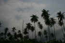
There
are four geographic sections in Vietnam, ranging from rugged mountains to marshy
fertile flatlands. Vietnam's "S" shape takes it from China, in
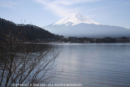
the north, the the Gulf of Thailand in the south. In the north, there are
mountains that extend up to 3.143 m at Fan Si Pan, the highest point in Vietnam;
the east and southeast consists of the Red River Delta, an alluvial plain; south
of this Delta is the Truong Son (Annam Highlands) which is considered to be the
backbone of Vietnam. A plateau (Central Highlands) also occupies this area
and can be found between Cambodia and the South China sea. The Mekong
Delta is located in the southernmost portion of Vietnam and makes up a fertile,
marshy flatland that goes from the Central Highlands (north of it) south to the
mangrove swamps on the Ca Mau peninsula.
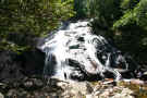
The
Red River and the Mekong River are navigable in their entirety and are
considered to be the two major rivers in Vietnam. To help prevent flooding
in their deltas, a system of dikes and canals has been erected. This has
helped improve farming in the Mekong Delta due to salt water flooding from the
South China Sea, especially during the long, wet monsoon season.
Vietnam's
climate is amazingly varied, but this is due to the vast range of latitudes and
altitudes in the country. The average temperature in the north is about 81
degrees F (27 degrees C) and in the south a nice 70 degrees F (21 degrees C) and
is generally humid. Two monsoons control the weather, one is considered to
be a dry monsoon which occurs mainly in the north from about October/November to
March. The other brings wet, warm weather to the entire country, with the
exception of the mountainous areas, from April/May to October. July and
August are considered to be the hottest and most humid months.
AsianInfo.org
supports I.C.E.Y. -
H.O.P.E. (non-profit org) (International
Cooperation of Environmental Youth - Helping Our Polluted
Earth) Any advertisement you view helps save the
environment! Thanks!
Disclaimer:
AsianInfo.org
does not guarantee the complete accuracy of the information provided on
this site or links. Do your own research and get a professional's
opinion before adhering to advice or information contained herein.
Use of the information contained herein provided by AsianInfo.org and
any mistakes contained within are at the individual risk of the user.
(We
do not provide links to, or knowingly promote, any violent or pornographic
sites.)