|
LAND
Korea lies adjacent to China and Japan. The northern border of Korea is
formed by the Amnokkang (Yalu) and Tuman-gang (Tumen) rivers which separate it
from Manchuria. A 16-kilometer segment of the Tuman-gang river to the east
also serves as a natural border with Russia. The west coast of the Korean
Peninsula is bounded by the Korea Bay to the north and the Yellow Sea to the
south; the east coast is bounded by the East Sea. Two hundred kilometers
separate the peninsula from eastern China. The Japanese islands of Honshu
and Kyushu are located 206 kilometers to the southeast, just across the Korea
Strait. Because of its unique geographical location, Chinese culture
filtered into Japan through Korea; a common cultural sphere of Buddhism and
Confucianism was thus established between the three countries.
The Korean Peninsula extends for about 1,000 kilometers southward from the
northeast Asian continental landmass. Roughly 300 kilometers in width,
climate variations are more pronounced along the south-north axis. Due to
these variations, marked differences in plant vegetation can be seen along this
axis. Generally speaking, the southern half of the peninsula is warmer
than the northern half.
TERRITORY
The total area of the peninsula, including the islands, is 22,154 square
kilometers of which about 45 percent (99,313 square kilometers), excluding the
area in the Demilitarized Zone (DMZ), constitutes the territory of South
Korea. The combined territories of South and North Korea is similar in
size of Britain (244,100 square kilometers) and Guyana (215,000 square
kilometers). South Korea along is about the size of Hungary (93,000 square
kilometers) and Jordan (97.700 square kilometers).
There are about 3,000 islands belonging to Korea. The islands are
located mostly around the Yellow Sea; only a handful of them lie of the East
Sea. Ullungdo, the largest island in the East Sea, serves as a major
fishery base as does Tokdo island. Important islands within South Korea's
territory include Chejudo, the largest island, which lies off the southwest
corner of the peninsula.
Until the 11th century, the territory of Korea had encompassed most of
Manchuria, but by the 15th century, due to repeated conflicts with China,
Koreans retreated southward and the Amnokkang and Tuman-gang rivers became
the permanent Sino-Korean border.
At the end of World War II, the peninsula was divided into a northern zone
occupied by Soviet forces and a southern zone occupied by US forces, the
boundary between the two zones being formed at the 38th parallel. In 1953,
at the end of the Korean War, this boundary became semi-permanently fixed at the
DMZ, a 4 kilometer wide strip of land than runs along the lines of cease-fire
from the east to the west coast for a distance of about 241 kilometers.
ADMINISTRATIVE UNITS
There are three administrative tiers in South Korea. The highest tier
includes seven metropolitan cities and nine provinces (do). Metropolitan
cities refer to those urban areas with a population of over 1 million.
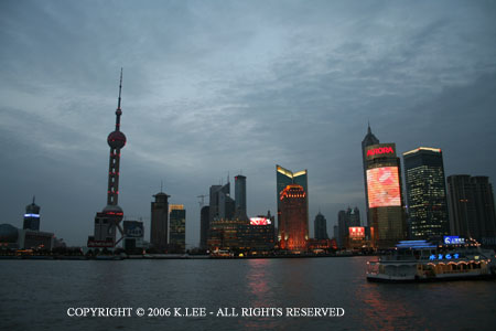
Seoul, the capital of South Korea, is the largest urban center, having over 10
million residents. Pusan is the second largest city, with a population of
over 4 million. Taegu, Inch'eon, Kwangju, Taejon and Ulsan, in descending
order, are each home to over 1 million people.
At the second administrative tier, provinces (do) are subdivided into
small cities (shi) and counties (gun). A small city (shi)
comprises those areas with populations of more than 50,000. A county (gun)
consists of one town (up) and five to ten townships (myon).
Although they are administrative units, provinces (do) also play an
important role in the regional identification of the people and many Koreans
often identify themselves by the province in which they were born and
raised. The last administrative tier consists of subdivisions of shi
which are called dong. In rural areas however, counties (gun)
are subdivided into towns (up) and townships (myon). A town
(up) has a population of 20,000 people or less.
In the last several decades, South Korea has witnessed a rapid growth
of its urban centers. The population of these areas now constitutes over
85 percent of the national total. Urban growth has been particularly
spectacular along the Seoul-Pusan corridor, the Seoul metropolitan area and the
Kyongsang-do area. By contrast, the southwestern and northeastern
peripheral regions have sustained a considerable loss in population. North
Korea also has a similar jurisdictional heiarchy.
Back to Top
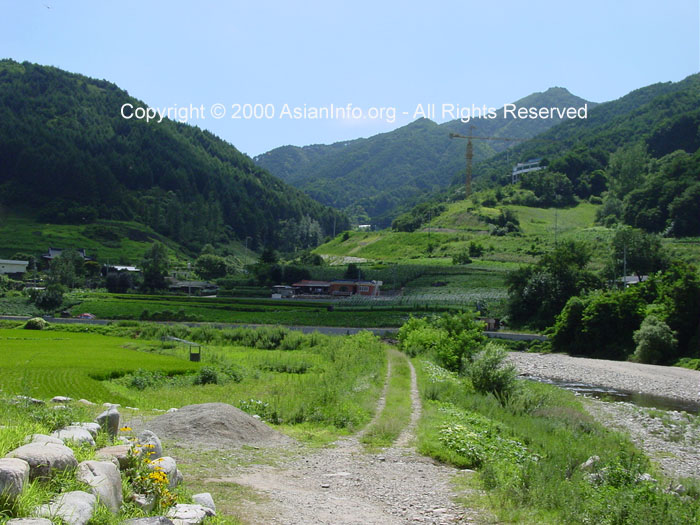
GEOGRAPHICAL REGIONS
Mountain ranges have traditionally served as natural boundary markers between
regions. Because these natural boundaries inhibited frequent interactions
between people living on either side of the range, subtle, and sometimes
substantial, regional differences developed in both the spoken language and
customs of the people. These regional distinctions also correspond to the
traditional administrative units devised during the Choson Dynasty (1392-1910).
The Korean Peninsula, located in Northeast Asia, is bordered on the north by
China and Russia and juts toward Japan to the southeast. The northernmost
point is Yup'ojin in Onsong-gun, Hamgyongbuk-do Province, and the southernmost
point is Marado island, Cheju-do Province. The westernmost point of Maando
island in Yongch'on-gun, Pyonganbuk-do Province, and the easternmost is Tokdo
island in Ullung-gun, Kyongsangbukdo Province. The Korean Peninsula is
222,154 square kilometers, almost the same size as the UK or Romania. The
administrative area of the Republic of Korea is 99,392 square kilometers,
slightly larger than Hungary or Portugal and a little smaller than Iceland.
The Central Region
This region consists of the Seoul metropolitan area, the
Kyonggi-do province,
the Ch'ungch'long-do province to the south, and the Kangwon-do province to the
east.
The Capital
Region
This region includes Seoul, Inch'on and
Kyonggi-do province. The capital region, as the name implies, is the
center of all political, economic and cultural activity in South Korea.
Clustered around Seoul are also numbers of smaller cities which form a
continuous and sprawling urban area. In and around Seoul reside the
largest concentration of the nation's industries. As the hub of
South Korea's transportation networks, with Kimp'o International Airport located
on western outskirts of Seoul, a newly built Inch'on International Airport, and
railroad networks that radiate to all parts of the country from the capital, the
Capital Region serves as South Korea's gateway to the world. Given this
strategic importance, the dialect spoken in Seoul and its vicinity is considered
to be the nation's standard spoken Korean.
Ch'ungch'dong-do
province
This region lies between the Capital
Region and the South. It includes Taejon, Ch'ungch'iongbuk-do and
Ch'ungch'nongnam-do provinces. Ch'ongju and Taejon are the leading urban
centers of the northern and southern provinces, respectively. Lying just
below the Capital Region, Ch'ungch-aong-do province has been characterized as a
southern extension of Seoul; its proximity to the capital has been economically
very advantageous for the region. New industries have recently mushroomed
along the Asanman bay on the Yellow Sea coast. The region has also
profited from transportation and urban services which serve Seoul and its
vicinity. Ch'ungch'ong-do and Kyonggi-do provinces specialize in
horticulture and dairy farming to meet the huge demands of the nearby urban
centers of the Capital Region.
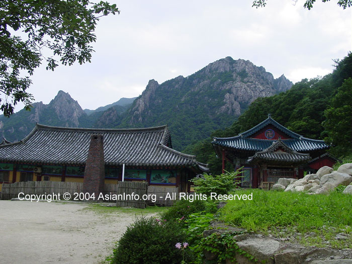
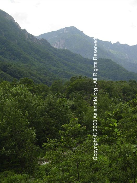
Temple on Serak Mtn.
Kanwon-do
province
This area lies to the east of the Capital
region. The T'aebaeksan range, which runs north-south through the middle
of the region, divides the province into eastern coastal and western inland
areas. Kangnung, Ch'unch'son and Wonju are its leading urban areas.
Kangwon-do province offers a variety of opportunities for tourism and sport
activities, despite its rugged terrain. Mining industries, once a major
player in the regional economy, have recently experienced a drastic decline due
to the competition of cheaper foreign-imported coals and minerals. The
downgrading of mining industries, coupled with the national trend of rural to
urban migration are the major contributing factors for the recent out-migration
of the region. Kangwon-do province, with less than 2 million residents,
has now the sparsest population of the nation.
The South Region
The South includes three geographical regions, the
Kyongsang-do province,
located in the southeast, Cholla-do province, located in the southwest and
Chejudo island, which lies off the South Sea.
Kyongsang-do
province
This region includes
Pusan, Taegu
and Ulsan, and Kyongsangbuk-do (north) and Kyongsang-nam-do (south)
provinces. Pusan and Taegu are the major urban centers of the southern and
northern regions of this province, comprising the second (4 million) and third
(2.5 million) largest metropolitan cities of South Korea.
This region is characterized by a bast vasin of the Naktonggang river and is
surrounded by the Sobaeksan Mountains. Due to the rugged topography of the
surrounding mountains, sub-areas within the region share common cultural traits
such as dialect and custom which are quite distinct from other peoples of
outlying regions. The fact that Kyongsang-do province also has another
name, "Yongnam Region," literally meaning "south of the mountain
pass," attests to the key role that the mountains have historically played
in fostering regional differences between the Korean people.
Kyongsang-do province has one of the largest industrial agglomerations,
second only to the Capital Region, due mainly to the heavy investment in the
region by the South Korean government since the 1960's. These heavy
industrial faciltiies of steel, shipbuilding, automobile and petrochemical
factories are largely concentrated along the southeast stretch of P'ohang,
through Ulsan, Pusan, Ch'angwon and Chinju. The northwestern province also
has two major clusters of industries around Taegu and Kumi, specializing in
textile and electronics.
Cholla-do
Province
Cholla-do province is located southwest of the
peninsula nd comprises Kwangju, Chollabuk-do (north) and Chollanam-do
(south). Kwanju, Chonju and Naju are their respective centers.
"Honam" is another name for Cholla-do province. The flat fertile
lands of the Jumgang and Yongsan-gang river basins, as well as the coastal
lowlands, have made the region the major granary of the nation. The
regional economy has lagged somewhat behind the Capital and Kyongsang-do regions
due to sparse industrial investments made here during the past decades.
However, this situation is changing and the region is now experiencing
industrial growth in major urban centers like Kwanju and Chonju, as well as
along its western coast. Also, the tidal flats near Kunsan and Mokp'o have
recently been reclaimed, adding huge new lands for industrial development.
The region is endowed with vast tidal flats, very irregular coastline, and
countless large and small islands, thus offering excellent opportunity for
fishing and diving. This unique coastal landscape attracts a number of
tourists year-round.
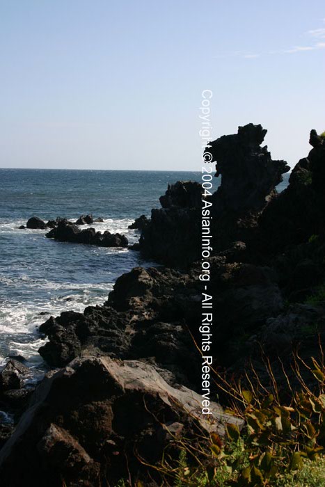
Chejudo
island
Chejudo island is the largest in Korea.
Located about 140 kilometers south of Mokp'o in the South Sea, its histori
isolation from the mainland contributed to the Chejudo peoples' to its fiery
origins. Because of its subtropical climate and the unique lifestyles and
customs of its people, tourism is the most is the most important industry in the
region. The island is also famous for its subtropical fruits such as
tangerines, pineapples and bananas. It is also famous for its women
divers.
The North Region
The northern part of the peninsula is divided into two geographical regions:
the P'yong-an-do province in the northwest and the Hamgyong-do province in the
northeast. The former with more flatlands is also known as the Kwanso
region while the latter is often referred to as Kwanbuk. P'yong-an-do
province serves as the major agricultural area of the North. By contrast,
Hamgyong-do province, due to its mountainous topography, boasts mining and
forestry as its major economic activities. P'yongyang, a leading
urban center in the P'yong-an-do province, is the capital of North Korea
and Namp'o serves as the gateway port to P'yongyang. Hamhung and
Ch'rongjin are the other major centers of amgyong-do province.
The third geographical region of the North,
Hwanghae-do province lies to the
south of O'yong-an-do province. Once a part of the Central region prior to
the South-North division, Hwanghae-do province shares a great many cultural
similarities with other west-central regions of the peninsula. Kaesong is
the major city of the region.
Back to Top
|